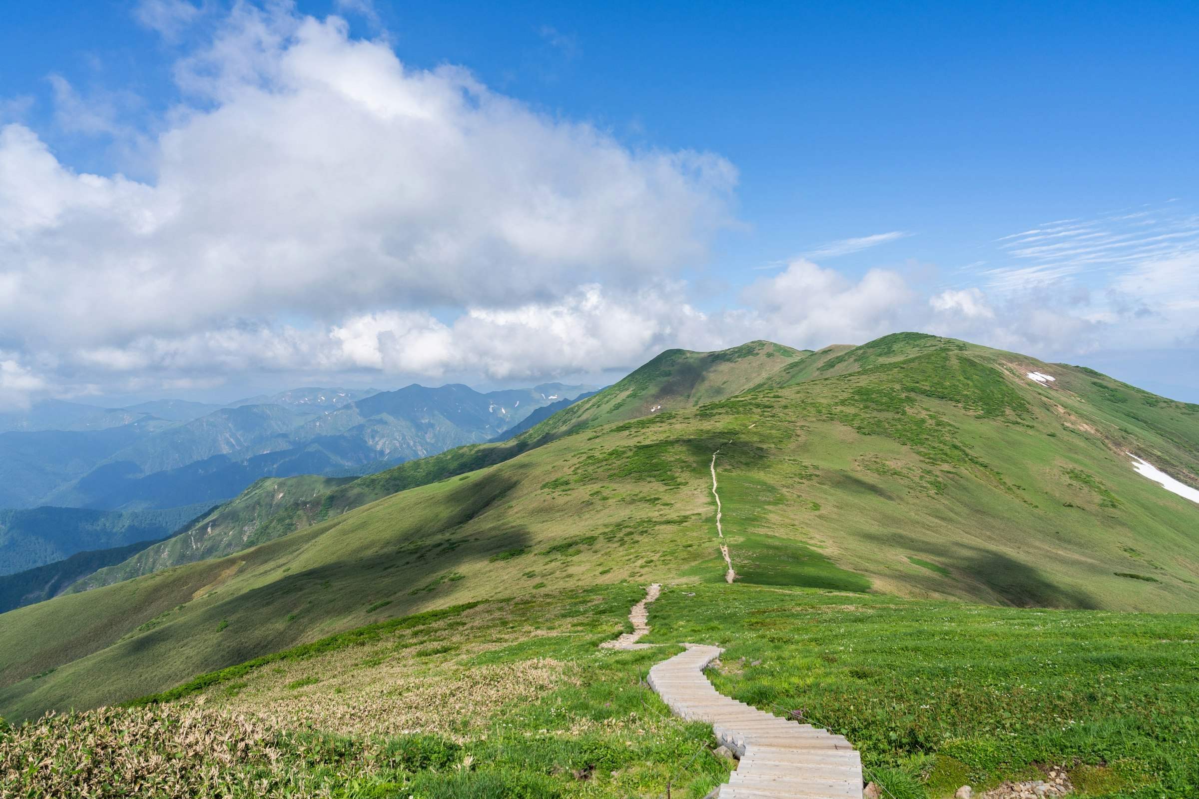
All of Japan,
on one map.
1,741 municipalities, 11,150 places to visit, 1,692 mountains, 596 railway lines and 2,640 rivers, plus 35 national parks. Add rain radar and temperatures, then pan and zoom one map, or follow a page for each place.
Travel the map,
discover Japan.
Open a town and you will see its neighbors, nearby mountains and nearest stations. Follow them, and you will get to know every corner of Japan.

Places to visit by category
Hot springs, waterfalls, castles, shrines and temples across Japan.
 Hot springs (onsen)573 in JapanPhoto: Yudoku Onsen · Miya.m / CC BY-SA 3.0 · Commons
 Waterfalls173 in JapanPhoto: Kegon Falls · Jordy Meow / CC BY-SA 3.0 · Commons
 Castles706 in JapanPhoto: Himeji Castle · Nikos Kitsakis / CC BY-SA 4.0 · Commons
 Shinto shrines1,641 in JapanPhoto: Itsukushima Shrine · JordyMeow / CC BY-SA 3.0 · Commons
 Buddhist temples1,556 in JapanPhoto: Kiyomizu-dera · Martin Falbisoner / CC BY-SA 4.0 · Commons
 Lakes186 in JapanPhoto: Lake Biwa · Lonely Planet Japan / CC BY-SA 4.0 · Commons
 Gorges33 in JapanPhoto: Shosenkyo · Captain76 / CC BY-SA 3.0 · Commons
 Islands416 in JapanPhoto: Yakushima · tsuda from Tsushima, Aichi, Japan / CC BY-SA 2.0 · Commons
 Museums and art museums875 in JapanPhoto: Tokyo National Museum · Wiiii / CC BY-SA 3.0 · Commons
 Gardens216 in JapanPhoto: Kenroku-en · 663highland / CC BY 2.5 · Commons
 World Heritage Sites82 in JapanPhoto: Mt. Fuji · 名古屋太郎, (edited by Hannes_24) / CC BY-SA 3.0 · Commons
 Ancient burial mounds (kofun)291 in JapanPhoto: Daisen Kofun · Sakai Yayoi / CC0 · Commons
 Capes102 in JapanPhoto: Cape Soya · User:SElefant / CC BY-SA 3.0 · Commons
 Roadside stations (Michi-no-Eki)1,214 in JapanPhoto: Michi-no-Eki Hari T-R-S · Puchi-masashi / CC BY-SA 4.0 · Commons
 Aquariums60 in JapanPhoto: Okinawa Churaumi Aquarium · sinnosuke uchida / CC BY-SA 3.0 · Commons
 Historic townscapes58 in JapanPhoto: Gion · Andreas Tack / Public domain · Commons


Popular places to visit
In order of how often their Japanese Wikipedia articles are read.
- World Heritage Site · Fujinomiya CityMt. FujiPhoto: 名古屋太郎, (edited by Hannes_24) / CC BY-SA 3.0 · Commons
- Castle · Himeji CityHimeji CastlePhoto: Nikos Kitsakis / CC BY-SA 4.0 · Commons
- Buddhist temple · Kyoto CityKiyomizu-deraPhoto: Martin Falbisoner / CC BY-SA 4.0 · Commons
- Shinto shrine · Hatsukaichi CityItsukushima ShrinePhoto: JordyMeow / CC BY-SA 3.0 · Commons
 Buddhist temple · Kyoto CityKinkaku-ji TemplePhoto: Basile Morin / CC BY-SA 4.0 · Commons
- Island · Yakushima TownYakushimaPhoto: tsuda from Tsushima, Aichi, Japan / CC BY-SA 2.0 · Commons
 Island · Nagasaki CityHashima IslandPhoto: Hisagi (氷鷺) / CC BY-SA 3.0 · Commons
 Viewpoint · Sumida CityTokyo SkytreePhoto: Akonnchiroll / CC0 · Commons
 Buddhist temple · Ikaruga TownHoryu-ji TemplePhoto: 663highland / CC BY 2.5 · Commons
- Lake · Omihachiman CityLake BiwaPhoto: Lonely Planet Japan / CC BY-SA 4.0 · Commons
 Viewpoint · Minato CityTokyo TowerPhoto: Akonnchiroll / CC BY-SA 4.0 · Commons
 Historic site · Hiroshima CityHiroshima Peace MemorialPhoto: Oilstreet / CC BY 2.5 · Commons
 Bridge · Awaji CityAkashi Kaikyo BridgePhoto: Tysto / Public domain · Commons
 Castle · Osaka CityOsaka CastlePhoto: 663highland / CC BY 2.5 · Commons
 Buddhist temple · Nara CityTodai-ji TemplePhoto: 663highland / CC BY 2.5 · Commons
 World Heritage Site · Fujikawaguchiko TownAokigaharaPhoto: Guilhem Vellut from Annecy, France / CC BY 2.0 · Commons


Chosen automatically, most popular first, from landmarks and cultural properties registered in Wikidata (we have not checked whether each is open). Names and descriptions: Wikidata (CC0); photos: Wikimedia Commons (photographer and license under each photo).
Browse by region
47 prefectures and 1,741 municipalities, with population and places to visit from official sources.
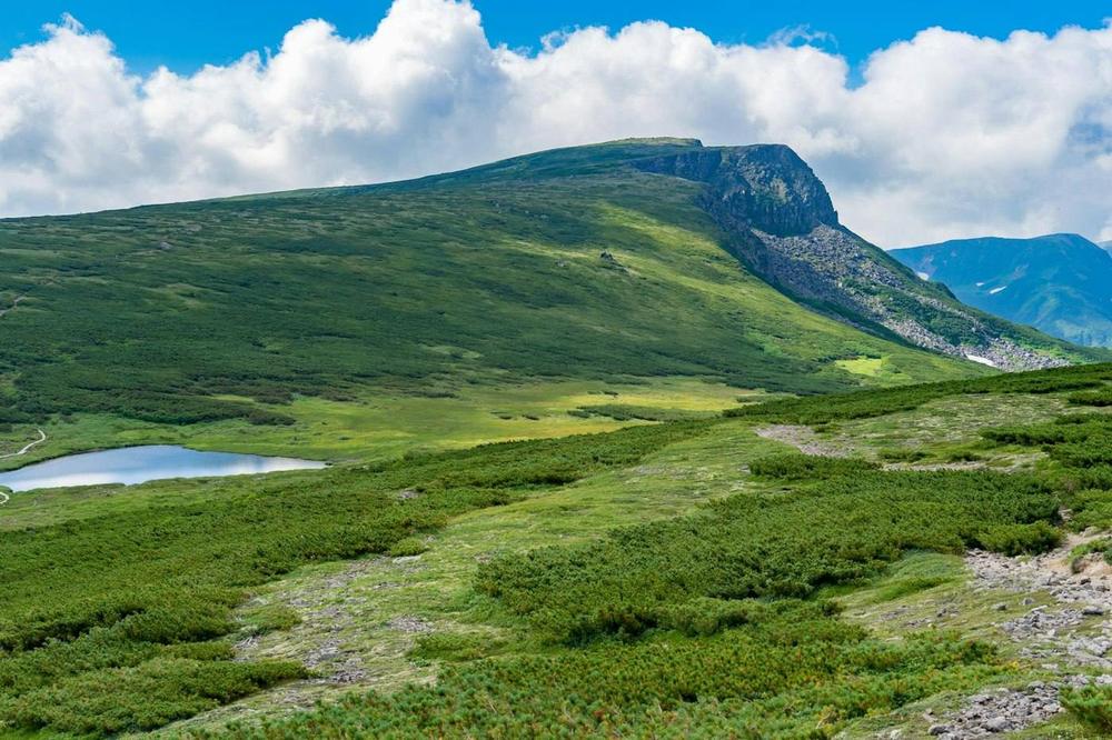 Mt. Daisetsu
Hokkaido & Tohoku
7 prefectures · 406 municipalitiesThe northern lands that make up about 40% of Japan's land area. A rich source of rice, fruit and seafood, shaped by snow, mountains and the sea.
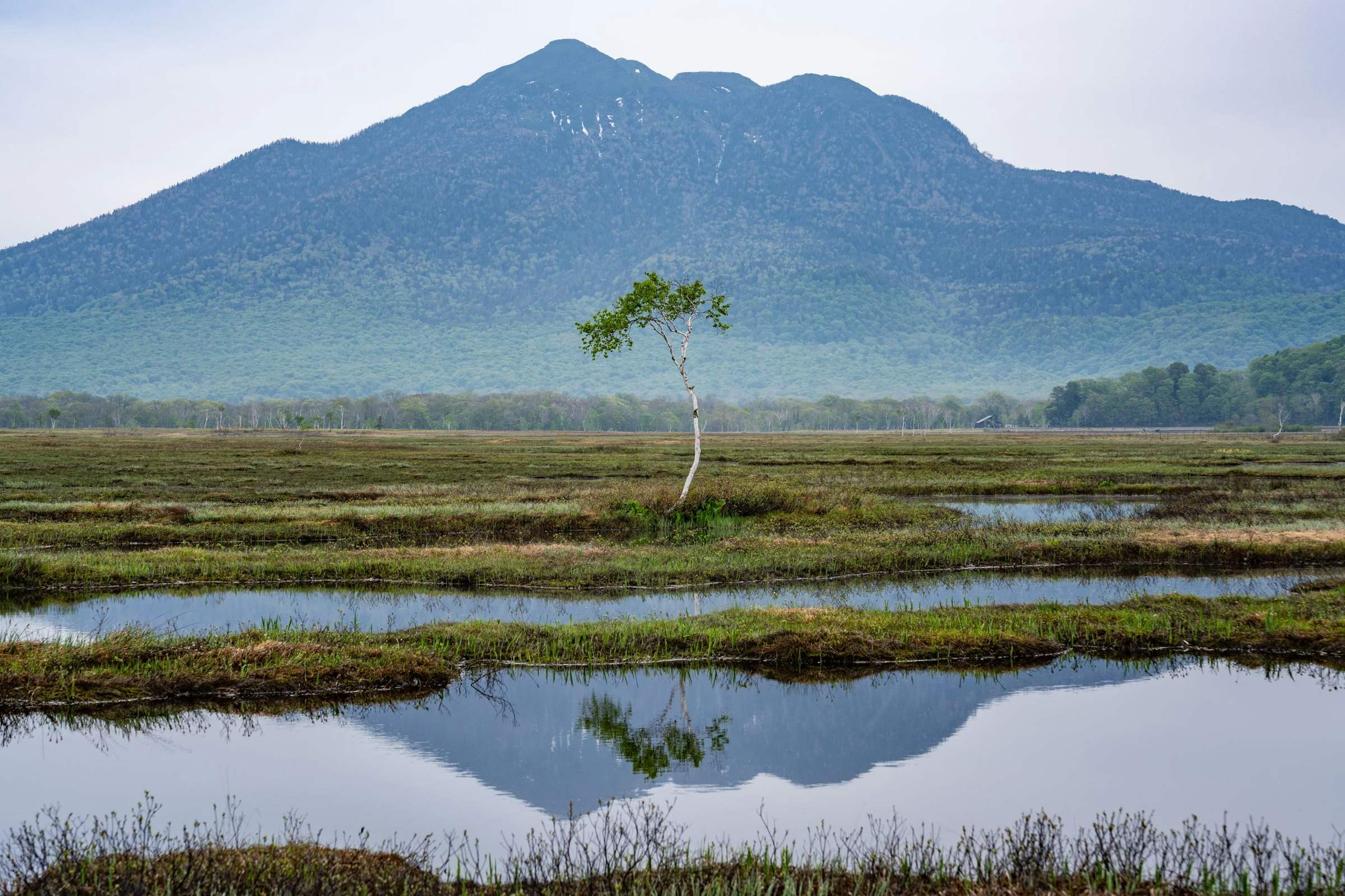
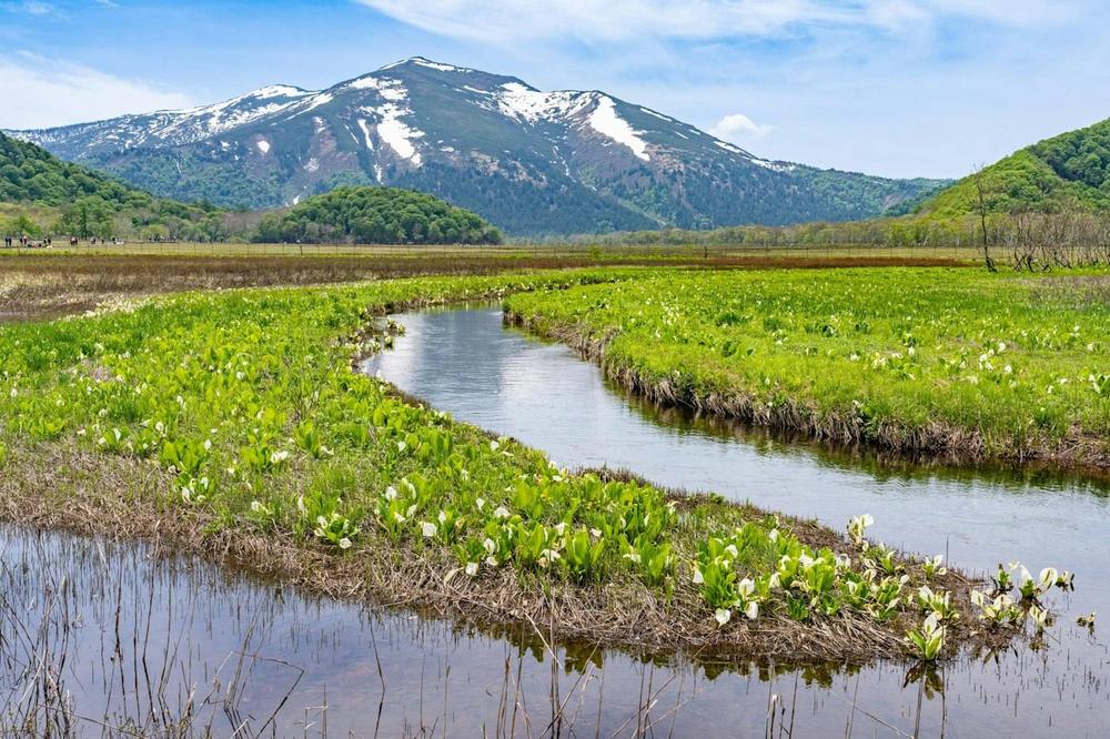 Ozegahara Marsh
Kanto
7 prefectures · 316 municipalitiesThe Tokyo metropolitan area, home to about one third of Japan's population. It is one of the largest urban areas in the world, supported by nearby farming and industrial zones.
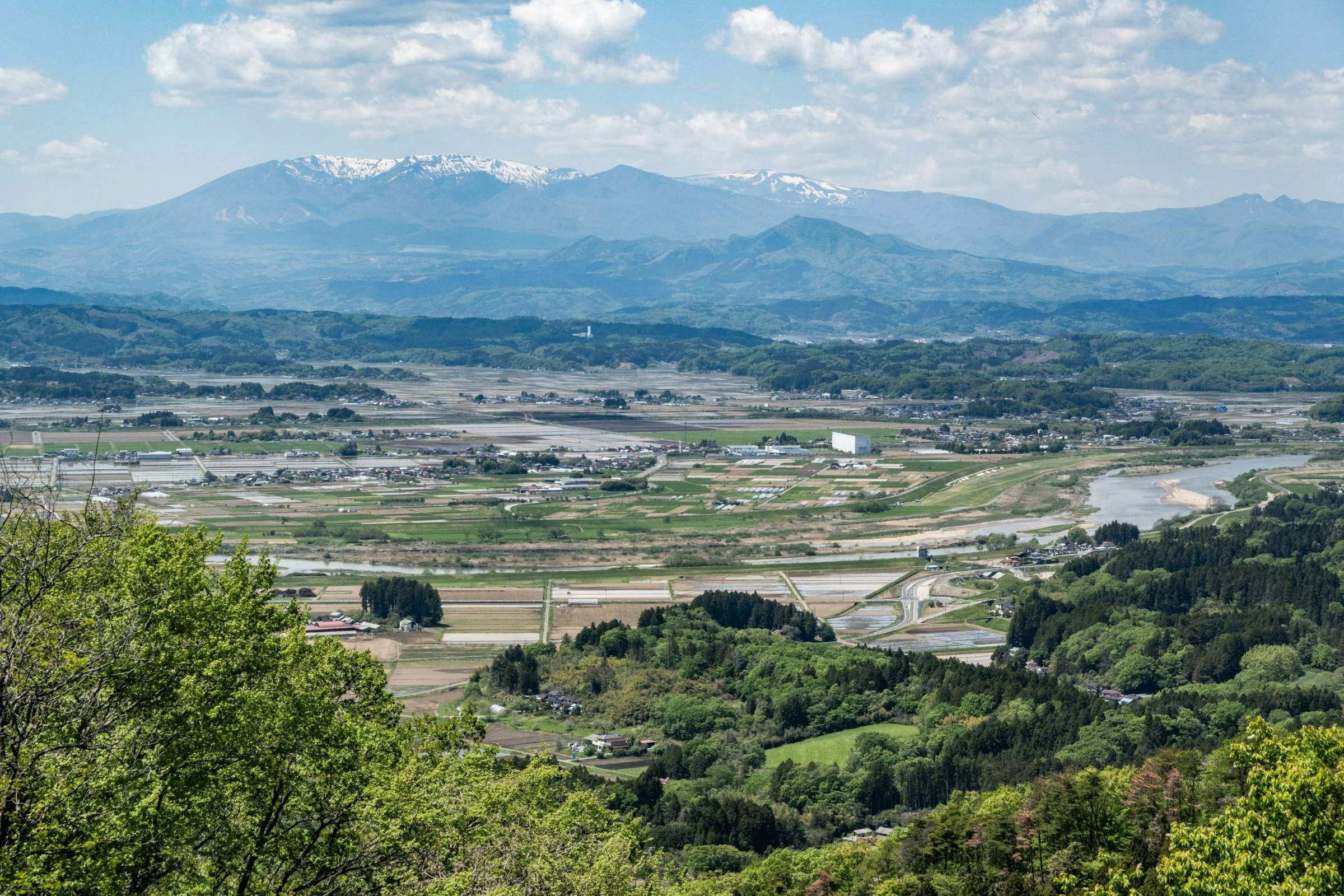
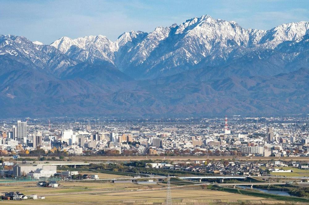 Toyama City and the Tateyama Range from the Kureha Hills
Chubu
9 prefectures · 316 municipalitiesWith the Japan Alps as its backbone, the region lines up Hokuriku on the Sea of Japan side, Koshin inland and Tokai on the Pacific side. A region of manufacturing and mountains.
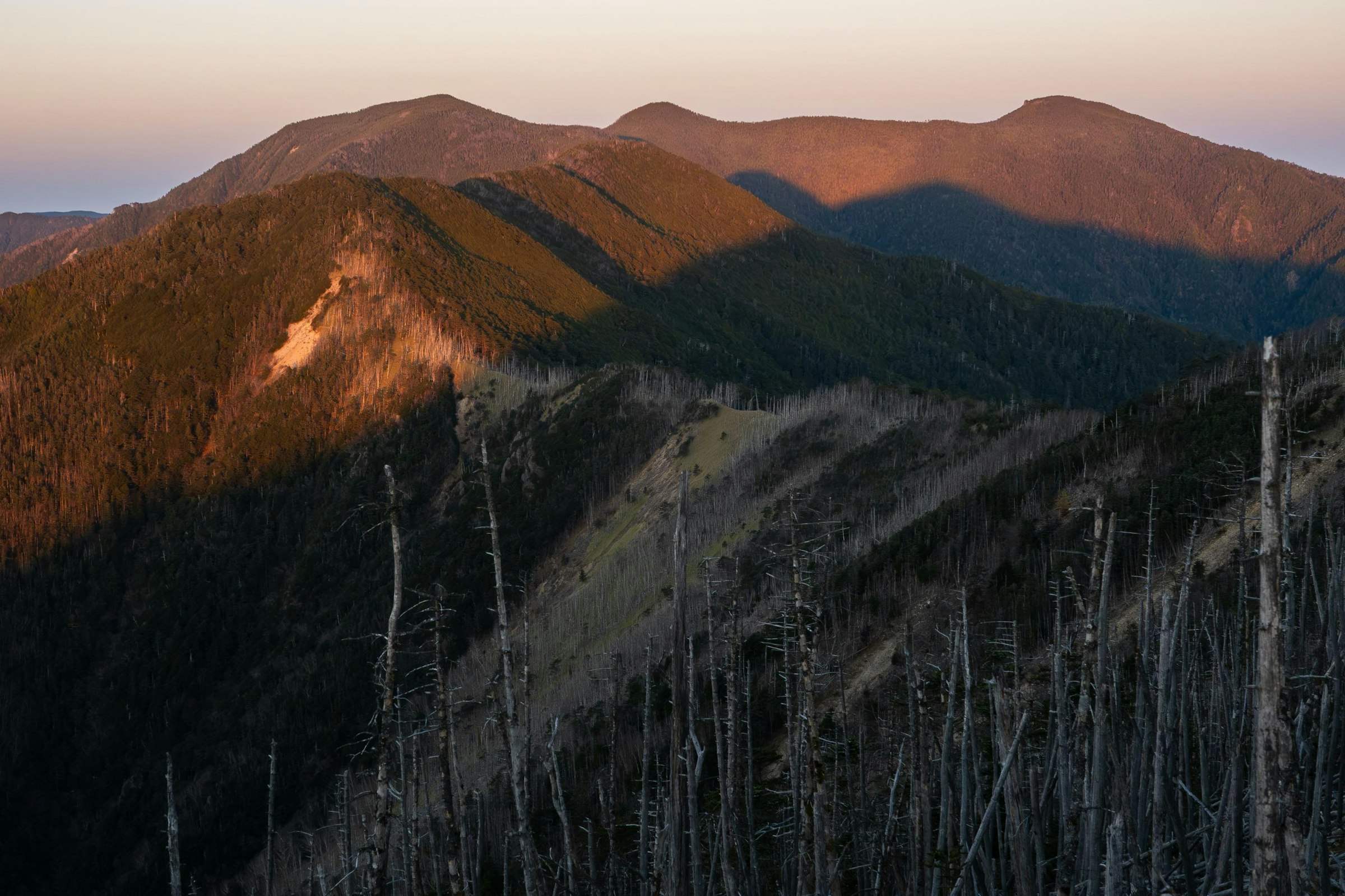
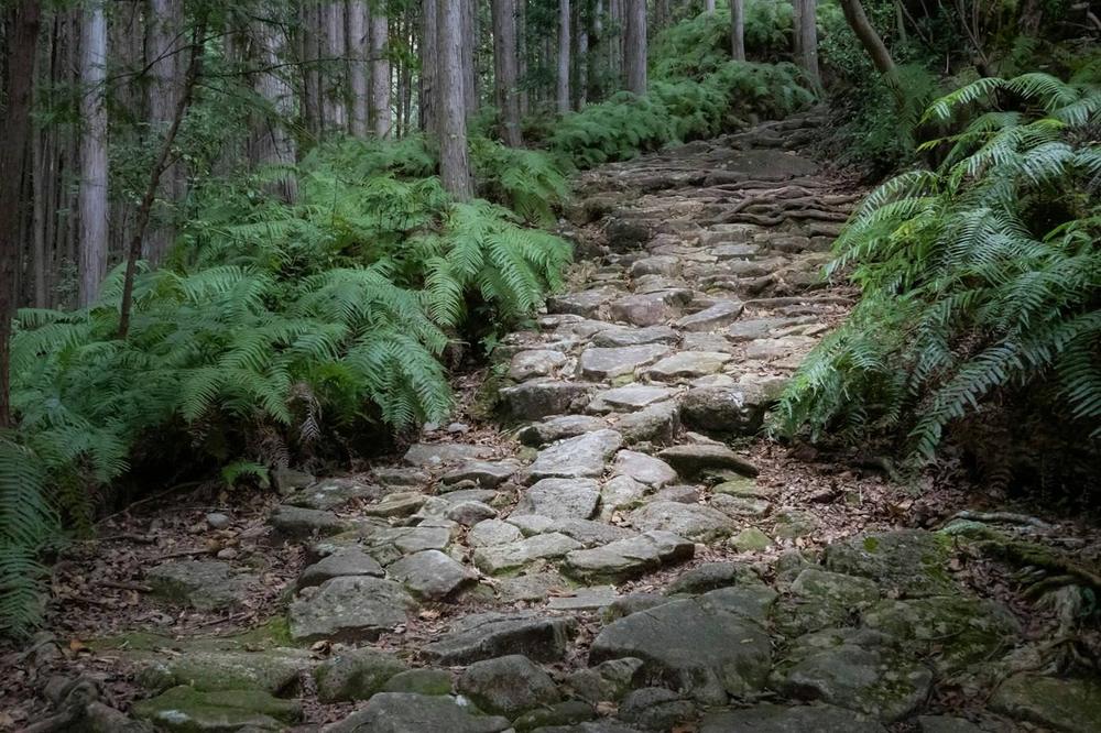 Kumano Kodo Iseji route (Magose Pass)
Kansai (Kinki)
7 prefectures · 227 municipalitiesThe source of Japanese culture, where the capital stood for more than a thousand years. The history of ancient capitals and the energy of Osaka, the merchant city, exist side by side.
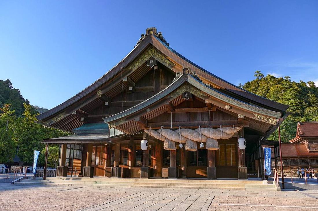 Shimane Prefecture
Chugoku
5 prefectures · 107 municipalitiesThe Chugoku Mountains divide the region into San'in, the land of myths on the Sea of Japan side, and San'yo, the sunny land on the other side. The calm sea of the Seto Inland Sea, with its chain of islands, is another attraction.
Photo: MaedaAkihiko / CC BY-SA 4.0 · Wikimedia Commons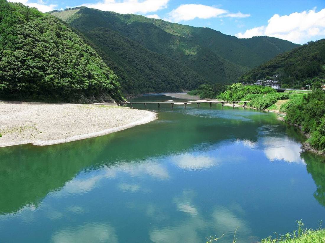 Kochi Prefecture
Shikoku
4 prefectures · 95 municipalitiesFour prefectures linked by the pilgrimage route of the 88 temples. This one island has both the calm of the Seto Inland Sea and the roughness of the Pacific Ocean.
Photo: 京浜にけ / CC BY-SA 3.0 · Wikimedia Commons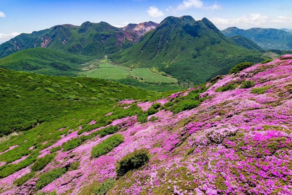 Kyushu azaleas on Mt. Hiji
Kyushu & Okinawa
8 prefectures · 274 municipalitiesJapan's western gateway, which prospered as a window for exchange with the Asian continent. Kyushu is a land of volcanoes and hot springs, and Okinawa is a chain of subtropical islands.


National rankings
From population and area to the highest mountains and busiest stations.
Population ranking of municipalities
Population (2025)- 1Yokohama CityKanagawa3,750,952
- 2Osaka CityOsaka2,805,371
- 3Nagoya CityAichi2,345,186
Population growth ranking of municipalities
5-year change- 1Okuma TownFukushima+81.0%
- 2Tomioka TownFukushima+36.0%
- 3Namie TownFukushima+33.9%
Population density ranking of prefectures
Population density- 1Tokyo6,471 people/km²
- 2Osaka Prefecture4,597 people/km²
- 3Kanagawa Prefecture3,805 people/km²
Busiest railway stations in Japan
Daily passengers- 1Shinjuku StationTokyo3,656,098
- 2Shibuya StationTokyo3,539,484
- 3Ikebukuro StationTokyo2,364,011
Highest mountains in Japan
Elevation- 1Mt. FujiShizuoka3,776 m
- 2Mt. KitaYamanashi3,193 m
- 3Mt. HotakaNagano3,190 m
Longest rivers in Japan
Length- 1Shinano River367 km
- 2Tone River322 km
- 3Ishikari River268 km
From the 100 Famous Mountains to Japan's Top 100 Castles.
The 100, 200 and 300 Famous Japanese Mountains, the 100 Famous Mountains for Flowers, regional lists and Japan's Top 100 Castles, with elevations and municipalities.
- 100 Famous Japanese Mountains100
- 200 Famous Japanese Mountains199
- 300 Famous Japanese Mountains290
- 100 Famous Mountains for Flowers98
- 100 Famous Mountains of Hokkaido100
- 100 Famous Mountains of Tohoku100
- 100 Famous Mountains of Kanto91
- 100 Famous Mountains of Shinshu (Nagano)100
- 100 Famous Mountains of Chugoku100
- 100 Famous Mountains of Shikoku100
- 100 Famous Mountains of Kyushu66
- Japan's Top 100 Castles100
- Japan's Top 100 Castles (Second Series)100
- National parks35
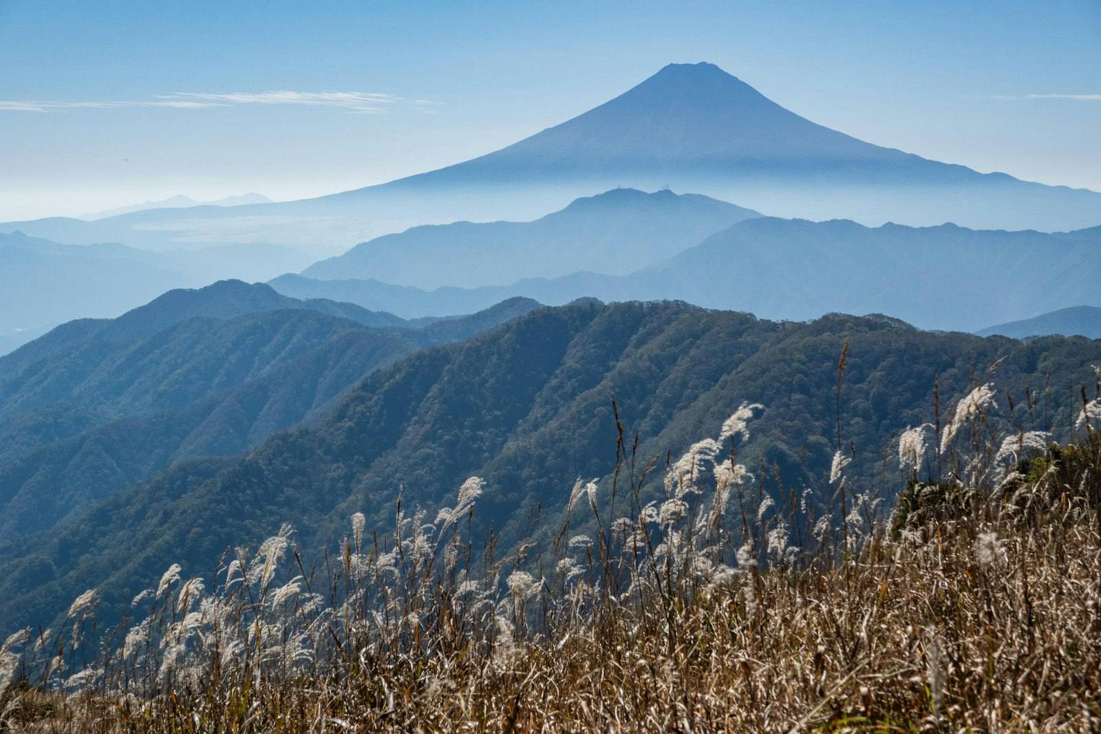
Mt. Fuji from Mt. Koganezawa (Otsuki City, Yamanashi)
Where would you like to start?
Figures come from official statistics, with the source and year on each page. See Sources & credits.
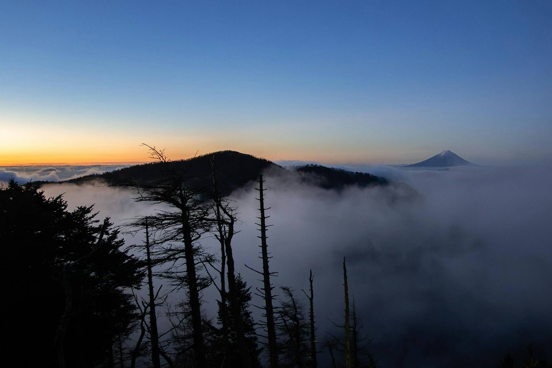
A sea of clouds and Mt. Fuji at dawn near Karisaka Pass (Yamanashi Prefecture)