Photo: 663highland / CC BY 2.5 · Wikimedia Commons
Osaka Prefecture
Kansai (Kinki) region · Prefecture
Official website
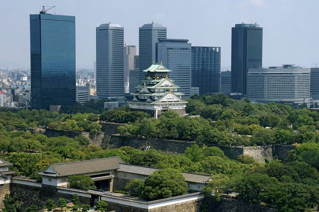
It is the 2nd-smallest prefecture in Japan by area, but 3rd in population. Once a merchant city called "the nation's kitchen," it has a deep-rooted culture of konamon (flour-based foods) such as takoyaki and okonomiyaki, and comedy. Expo 2025 Osaka, Kansai was held here in 2025.
- The nation's kitchen
- Konamon (flour-based foods)
- Mozu-Furuichi Kofun Group (World Cultural Heritage)
- Comedy
Key facts
- Municipalities
- 43 (33 cities, 9 towns, 1 village)
Source: Statistics Bureau of Japan, 2025 Population Census (population, area and density); area from the Geospatial Information Authority of Japan (GSI), Area Statistics of Prefectures and Municipalities (2025). National ranks are among the 47 prefectures, ordered by this site from these values.
Places to know
- Osaka City Dotonbori, Osaka Castle and USJ. The largest city in western Japan.
- Sakai City The tomb of Emperor Nintoku, cutlery and bicycles.
- Kishiwada City The bold Danjiri Festival.
Current warnings, advisories and earthquakes
Places to visit in Osaka Prefecture
 Castle · Osaka CityOsaka CastleJapanese castle in Chūō-ku, Osaka, Japan
 Amusement park · Osaka CityUniversal Studios Japantheme park in Osaka, Japan
 Burial mound (kofun) · Sakai City, OsakaDaisen KofunBurial mound in Sakai
 Buddhist temple · Osaka CityShitenno-ji TempleBuilt in 593 A.D., this famous Buddhist temple features a five-story pagoda, statues and turtle ponds
 Shinto shrine · Osaka CitySumiyoshi TaishaShinto shrine in Osaka Prefecture, Japan
 World Heritage Site · Sakai City, OsakaMozu TombsMegalithic tombs in Japan
 Viewpoint · Osaka CityTsutenkakuobservation tower
 Shop · Osaka CityTakashimayaJapanese department store
 Entertainment district · Osaka CityDotonborihuman settlement in Japan
 Castle · Kishiwada CityKishiwada Castlebuilding in Kishiwada City, Osaka Prefecture, Japan
Browse by category
Shrines, temples, castles and historic sites
Chosen automatically, most popular first, from landmarks and cultural properties registered in Wikidata (we have not checked whether each is open). Names and descriptions: Wikidata (CC0); photos: Wikimedia Commons (photographer and license under each photo).
Municipalities in Osaka Prefecture (43)
| Municipality | Population | 5-year change | Area | Temperature nownearest AMeDAS |
|---|
| Osaka City | 2,805,371 | +1.9% | 225 km² | |
| Sakai City | 802,648 | −2.8% | 150 km² | |
| Kishiwada City | 185,429 | −2.7% | 72.72 km² | |
| Toyonaka City | 404,015 | +0.6% | 36.39 km² | |
| Ikeda City | 104,132 | −0.8% | 22.14 km² | |
| Suita City | 394,516 | +2.3% | 36.09 km² | |
| Izumiotsu City | 71,659 | −3.7% | 14.33 km² | |
| Takatsuki City | 344,998 | −2.2% | 105 km² | |
| Kaizuka City | 78,791 | −6.7% | 43.93 km² | |
| Moriguchi City | 140,715 | −1.7% | 12.71 km² | |
| Hirakata City | 388,860 | −2.1% | 65.12 km² | |
| Ibaraki City | 287,688 | −0.0% | 76.49 km² | |
| Yao City | 257,579 | −2.7% | 41.72 km² | |
| Izumisano City | 100,236 | +0.1% | 56.50 km² | |
| Tondabayashi City | 103,251 | −5.0% | 39.72 km² | |
| Neyagawa City | 221,975 | −3.4% | 24.70 km² | |
| Kawachinagano City | 94,761 | −6.8% | 110 km² | |
| Matsubara City | 114,720 | −2.5% | 16.66 km² | |
| Daito City | 113,806 | −4.7% | 18.27 km² | |
| Izumi City | 181,528 | −1.6% | 84.98 km² | |
| Minoh City | 140,736 | +2.8% | 47.90 km² | |
| Kashiwara City | 65,794 | −4.3% | 25.33 km² | |
| Habikino City | 104,096 | −4.3% | 26.45 km² | |
| Kadoma City | 111,722 | −6.7% | 12.30 km² | |
| Settsu City | 86,426 | −1.2% | 14.87 km² | |
| Takaishi City | 53,446 | −3.9% | 11.30 km² | |
| Fujiidera City | 61,091 | −4.1% | 8.89 km² | |
| Higashiosaka City | 482,700 | −2.3% | 61.78 km² | |
| Sennan City | 56,107 | −6.6% | 48.98 km² | |
| Shijonawate City | 53,449 | −3.1% | 18.69 km² | |
| Katano City | 75,576 | +0.7% | 25.55 km² | |
| Osakasayama City | 57,357 | −1.8% | 11.92 km² | |
| Hannan City | 47,632 | −7.1% | 36.13 km² | |
| Shimamoto Town | 31,733 | +2.6% | 16.81 km² | |
| Toyono Town | 16,684 | −8.7% | 34.34 km² | |
| Nose Town | 7,910 | −12.9% | 98.75 km² | |
| Tadaoka Town | 15,610 | −5.8% | 3.97 km² | |
| Kumatori Town | 42,561 | −2.7% | 17.24 km² | |
| Tajiri Town | 8,098 | −4.0% | 5.62 km² | |
| Misaki Town | 13,072 | −11.3% | 49.14 km² | |
| Taishi Town | 12,058 | −7.3% | 14.17 km² | |
| Kanan Town | 14,497 | −7.6% | 25.26 km² | |
| Chihayaakasaka Village | 4,279 | −12.8% | 37.30 km² | |
Source: Statistics Bureau of Japan, 2025 Population Census (population in 2025; change compared with 2020). Area: GSI (2025). Designated cities are shown as one city (wards combined). "Temperature now" is the latest JMA AMeDAS observation (preliminary) at the nearest station in the same prefecture, loaded and shown unchanged when you open the page.